
Jan 14 - Why Is It So Mild This Winter? YGTV Speaks To Local Weather Expert Steph Ball
 So what’s happening to our weather this winter? During the Christmas break, we walked down Main Street wearing t-shirts and enjoyed sunny walks up the Rock.
We spoke to local weather forecaster Stephanie Ball to get the lowdown on this exceptionally warm spell.
YGTV: What has been the highest temperature registered in Gibraltar since the beginning of Dec 2015?
Steph Ball: Our highest temperature registered since the beginning of December 2015 is 22.3C which was just before Christmas, on the 20th December.
YGTV: What is the average temperature for this time of year and what’s the difference between this figure and the temperatures we’ve been seeing recently?
SB: Averages for December and January should be nearer 17 and then 16C and so on the 20th December we saw temperatures climbing around 5 degrees above the average, which we would class as very mild. This generally mild weather has continued into 2016 too as we registered 21.2C on the 8th January, again this was 5 degrees above the January average. While temperatures this high have been seen just a handful of times this winter, on the whole the daily temperatures recorded have been running milder than what we’d expect for the time of year.
YGTV: Has rainfall also been down compared to previous years?
SB: The last really wet winter we saw in Gibraltar was 2009/2010, which ended up being our wettest on record. However, since then all the following winters have had generally below average rainfall and at present to the 14th January where we are now, that’s the case again for this winter. December 2015 was a very dry month with just around 6% of the average rainfall recorded, while for January so far we seem to be running closer to average and, of course, we still have the rest of the month and February to go. While the rainfall so far this winter is running below average, we don’t need to look back too far in the records to find a similar period which was drier and this was December 2011/January 2012.
YGTV: In layman’s terms, what’s happening to the weather this year? Why’s it so warm?
SB: It’s always difficult to pin down the weather to any one factor but certainly the fact it’s been an El Niño year and said to be the strongest ever, will have been one contributing factor. During El Niño years the weather around the globe can be altered quite significantly. The reason why we’ve been largely mild and on the dry side is that the Jetstream, the ribbon of high level winds which drives Low pressure systems, has been mostly running to our north and affecting the UK and instead we’ve seen spells of warmer air often pushing north across us. Meanwhile for the UK, as you’ll know, it’s been very unsettled and wet so far this winter with new rainfall records set causing severe flooding in some areas.
YGTV: Finally: is this trend set to last over the next week or two? Will we get a “proper” winter this year?
SB: I’ve had a look at the current models and while there is some rain and cooler temperatures in the short term forecast, the rain doesn’t look as though it will be anything significant and temperatures are only expected to fall to around where we’d expected them to be in January: which is 16 degrees give or take a degree. So there appears to be no sign of a real “winter” as yet in the short-term, with current longer-term models hinting that across southern Iberia, February could also continue generally drier and milder than average.
For a complete range of weather services, visit: www.meteogib.com
Alternatively, follow Steph’s weather forecasts on Twitter: https://twitter.com/MeteoGib

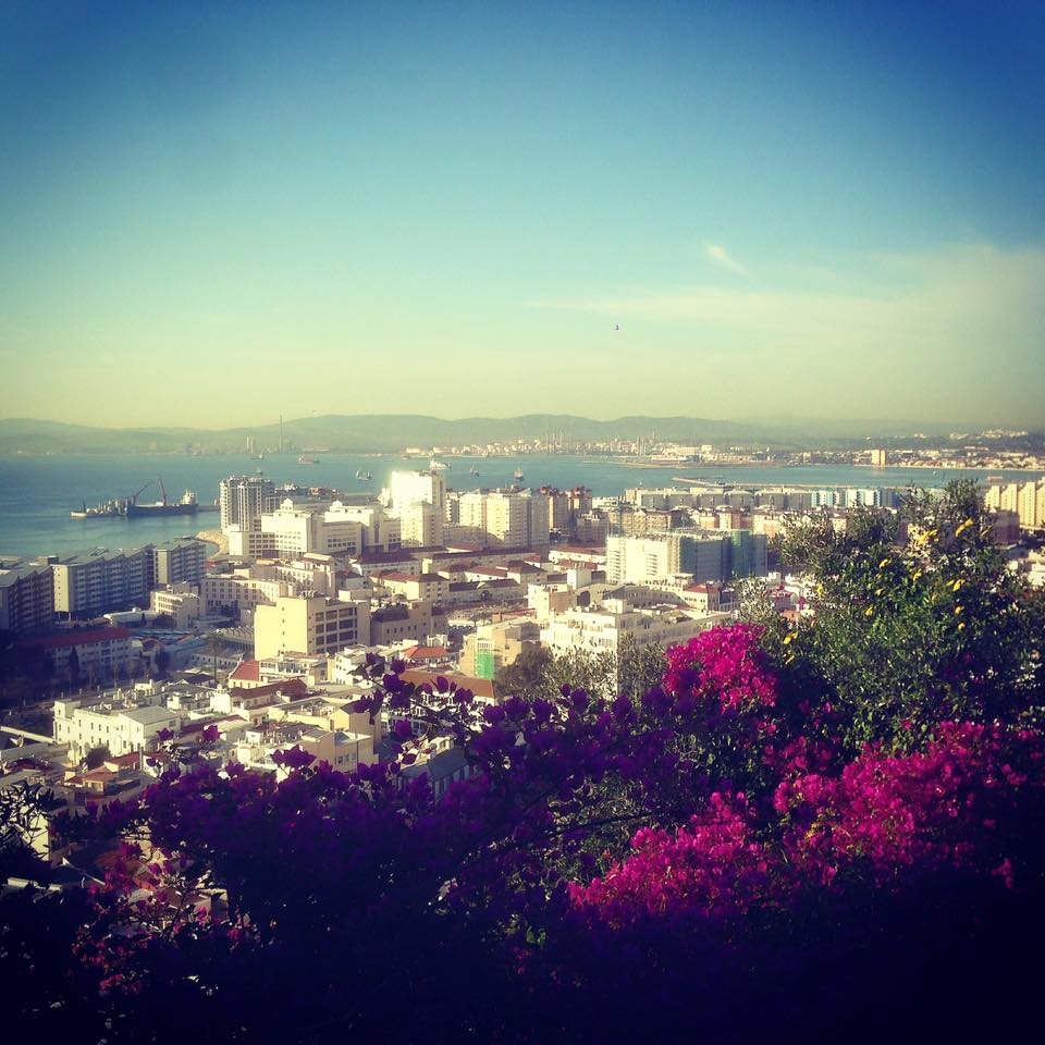
Pic: The Upper Rock in December
{fcomment}